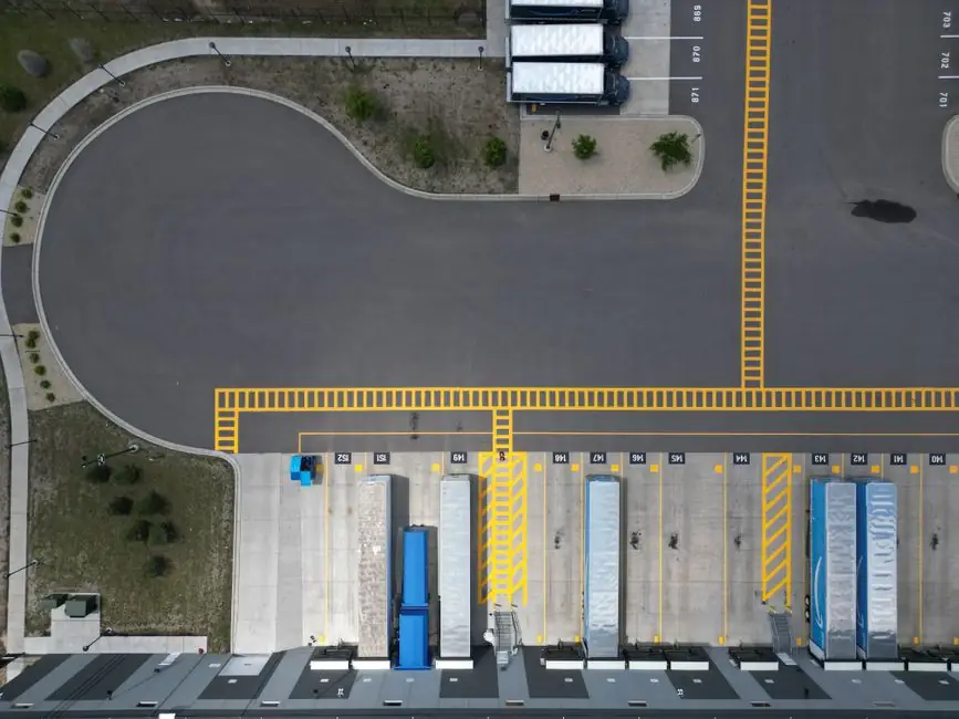
Planning AMR routes through mixed forklift-pedestrian traffic requires combining a data-derived conflict map, segregated walkways, zoned speed limits, and a shared V2V safety layer, with risk assessments aligned to ANSI/A3 R15.06-2025 [S1][S2][S4].
Most warehouses now run between 5 and 50 mobile robots alongside their existing manned forklift fleets, and the productivity hit from naive deployments is measured in hours of lost throughput per shift, not minutes [S2].
Why naive AMR deployments stall in mixed traffic
AMRs that only carry onboard LIDAR treat every forklift as a static obstacle and respond with hard slowdowns, reroutes, or full stops, which is correct safety behaviour and catastrophic throughput behaviour [S2].
Forklift drivers react in the opposite direction: they brake hard, take wider lines, and lose seconds on every pass, because they have no signal telling them what the AMR is about to do [S2]. Three independent safety rule sets (forklift OEM, AMR vendor, pedestrian policy) collide in the same aisle, and near-miss frequency rises while throughput falls [S2]. In the United States, forklifts caused 84 work-related deaths in 2024 and over 25,000 DART cases in 2023–2024, with a meaningful share tied to poor pedestrian-vehicle separation [S3]. OSHA estimates 35,000–62,000 powered-industrial-truck injuries per year, a range that frames why passive route planning is no longer acceptable [S3].
Step 1: Map conflict zones from data, not memory
Identify the top three conflict zones (the areas with the highest forklift-pedestrian interaction) before drawing a single line on the floor plan, using computer-vision analysis of existing CCTV footage over multiple shifts [S3].
Heatmaps aggregating thousands of trajectories reveal near-miss clusters, time-of-day peaks, and routes that create unnecessary overlap, information that supervisors sketching from memory simply do not have [S3]. SafeWork NSW's 2023 review of 1,538 forklift incidents recorded between 2017 and 2022 identified inadequate traffic management as a top contributing factor, alongside pedestrians being struck and unstable loads [S3]. A traditional painted-floor plan updated only after an incident will not catch shift-pattern changes, new racking, or seasonal throughput swings [S3].
Step 2: Segregate, then connect, pedestrian and vehicle paths
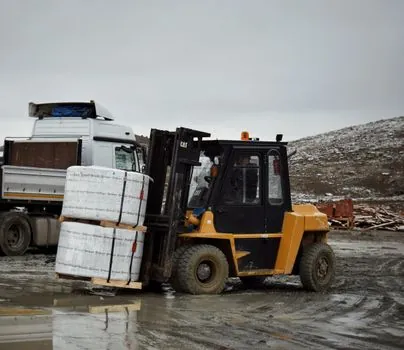
Designated pedestrian walkways, marked by permanent barriers or painted stripes, are the single highest-leverage control, with shared spaces permitted only where aisle width leaves a verified safe walking corridor [S5].
Crossings must be obvious from the environment, not just from the robot: clear floor markings, signage, and designated AMR travel corridors tell workers and drivers "people cross here, AMRs travel here, pay attention here" without depending on a single warning device [S1]. For fleets using forklift trucks and AMRs side by side, the same crossing geometry has to be validated against the load footprint of the AMR (a 1,400 kg payload on a SESTO Magnus MF1400PS changes manoeuvring radius and sight lines, not just mass) [S1].
Step 3: Zone speeds to the risk profile of each segment
Open material-handling aisles and pedestrian crossings should not share the same AMR speed budget; build operating zones where the AMR holds a lower, predictable speed in crossings, intersections, production entrances, and blind corners [S1].
The engineering target is predictable material movement, not maximum speed, which means the AMR's motion profile through each zone is governed by the worst-case detection and stopping distance at that zone's visibility level [S1]. WorkSafe Victoria recorded 142 serious-injury forklift claims in 2022, of which 26 involved pedestrians being hit, an order of magnitude that justifies treating every shared aisle as a designed slow-zone, not a default open lane [S3].
Step 4: Make blind corners and obstructed crossings first-class hazards
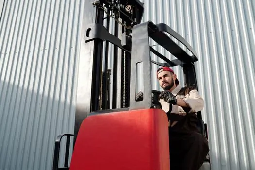
Blind corners and obstructed intersections deserve additional attention beyond standard signage, because racks, machinery, pallets, and the AMR's own load can each independently occlude the driver's or operator's view [S1][S5].
Visual indicators, audible warnings, convex mirrors, and removed obstructions are layered on top of, not instead of, the route design, with site-specific risk assessment picking the mix [S1]. Forklift turning radius is the recurring failure mode: the rear swings wide, and a pedestrian standing close to the corner during a turn is the classic struck-by scenario, so corner geometry must be planned around the turning envelope, not the static footprint [S5].
Step 5: Treat the load as part of the moving system
A loaded pallet affects visibility, manoeuvring requirements, and the space occupied by the complete moving system, so route risk assessment must include the AMR plus payload as one envelope, not the AMR alone [S1].
Tall loads can block the AMR's forward LIDAR cone, shift the centre of gravity through turns, and extend the effective footprint past the chassis outline, all of which change the stopping distance the route planner must budget for [S1]. For mixed-fleet sites already running an aerial work platform or other tall-mast equipment, payload-induced sight-line loss is a familiar hazard that translates directly into AMR route design.
Step 6: Add a vendor-agnostic V2V safety layer

Bolt-on point solutions (proximity sensors on forklifts, AMR LIDAR alone, wearables on pedestrians) do not create shared awareness, because a Toyota forklift, a Lowpad AMR, and an in-house pallet jack literally cannot talk to each other on their own [S2].
A shared coordinate system, such as Essensium's EPS-based RoboTrack layer, lets manned forklifts and AMRs see each other in real time and apply one set of rules: priority lanes, slow zones, V2V and V2P avoidance, automatic slowdowns, all tagless and anchorless [S2]. For deeper vendor-specific routing, see how the navigation stack itself is chosen in AMR Navigation Compared: SLAM, Reflector, Magnetic Tape. The result, in a 25,000 m² distribution centre running 40 manned forklifts and 15 AMRs across two shifts, is the difference between hundreds of micro-pauses per day and continuous flow [S2].
Selection checklist: is your site ready for mixed-fleet AMR routes?
Use this criteria-based pass before signing a deployment contract: [S1]
- Conflict data: do you have multi-week heatmaps of forklift-pedestrian-AMR interactions, not a single walkthrough? [S3] - Segregation: are pedestrian walkways barrier- or stripe-defined, with shared-space rules that close the lane when a forklift is present? [S5] - Zone speeds: are AMR speed limits defined per segment (crossing, blind corner, open aisle) rather than set globally? [S1] - Load envelope: does the route planner budget for the AMR plus the tallest/heaviest typical payload, including turning radius? [S1] - Shared safety logic: do forklifts and AMRs share a coordinate system and one set of priority rules, or do they each run their own vendor logic? [S2] - Standards alignment: is the site risk assessment aligned to ANSI/A3 R15.06-2025 and refreshed when shift patterns or racking change? [S4]
Limitations and failure modes to plan for
No single sensor, warning light, or floor marking is sufficient on its own; safety measures must be determined through a site-specific risk assessment covering the AMR, its payload, pedestrian movement, other vehicles, crossings, visibility, and the surrounding environment [S1].
Pedestrian wearables frequently fail socially: workers take them off because they are uncomfortable, which silently disables any tag-dependent avoidance layer [S2]. Floor markings fade, racking gets moved, and seasonal throughput shifts, so the route plan must be re-validated on a defined cadence, not treated as a one-time drawing [S3]. Finally, AGV-style fixed routes are not the answer: AMRs are specified precisely because the environment changes, and route logic that cannot re-plan will freeze at the first unplanned obstacle [S4].
Trackable signals for the next planning cycle
Two near-term signals to monitor: (1) the revision status of ANSI/A3 R15.06-2025 referenced in current AMR vendor compliance documentation, and (2) the share of mixed-fleet sites publishing multi-week conflict heatmaps rather than single-day walkthroughs as the input to their traffic management plan [S3][S4].