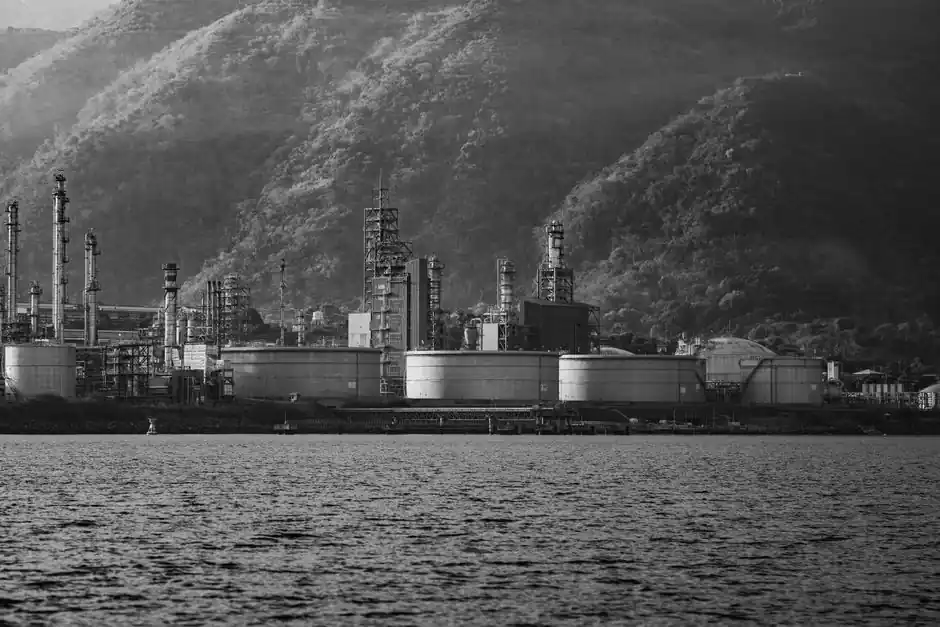
Collision-tolerant UAV frames with high-intensity LED lighting can pass through storage-tank manways as small as 24 inches (610 mm), letting a single two-person crew capture full-interior visual and thermal data without confined-space entry [S1]. Compared with rope-access teams billed at $50-100 per man-hour, drone campaigns reduce total inspection cost by roughly 60% and shorten a single flare-stack survey from 3-4 weeks of scaffolding to a one-day deployment [S1][S5].
On offshore platforms, the same hardware class handles flare tips, guy wires, ladders, and elevated piping, while digital-twin photogrammetry stitches overlapping images into a geotagged 3D model that flags corrosion, cracks, and coating failures [S1][S4]. The shift matters for plant managers because a single day of unplanned platform shutdown can cost more than $1 million in lost production, and a drone inspection typically runs while the flare remains lit [S1][S3].
Payload stack: what each sensor catches on a live flare
A live flare can be imaged from a safe standoff distance, and a single flight covers the tip, pilot ignition, radiation shield, supporting steelwork, pipework, gantries, and handrails [S3]. RGB cameras at 4K resolution feed AI defect-detection models that report 95% or higher recognition accuracy on corrosion, cracks, dents, and coating failures in vendor trials [S1].
Thermal imaging at the flare tip adds burner-integrity assessment in the same deployment, because tip and lateral temperature readings are more accurate than oblique angles, a key reason thermal data is paired with visual data on every high-value campaign [S3][S5]. LiDAR or photogrammetric point clouds then drive a 3D digital twin, which supports both severity ranking and repair-priority queuing into scheduled turnarounds [S1][S5]. For comparison, human rope-access inspectors miss up to 30% of defects due to fatigue and limited vantage, a defect rate that aerial capture effectively removes [S1].
Inside a 24-inch manway: tank and confined-space work
Collision-tolerant drone frames with onboard LED lighting enter through manways as small as 24 inches (610 mm), which is below the threshold for a human entry team and removes the need for permit-required confined-space work [S1]. The same flight records the shell, internal roof, weld seams, and floating-roof seals, producing overlapping imagery that AI models then score for corrosion and coating failure [S1][S3].
For external tank-shell surveys, the workflow is even simpler: a two-person ground crew flies autonomous, pre-planned paths with collision avoidance, while a 4K visual sensor and a thermal sensor collect data on coating condition and under-shell product heating [S1][S4]. The deliverables are geotagged, mapped onto a digital twin, and packaged as an interactive report with severity ranking and a recommended repair list, replacing the paper-and-clipboard output of a rope-access crew [S1].
Cost and downtime math: drones vs rope, scaffold, and helicopter
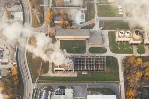
Rope-access labour runs $50-100 per man-hour before mobilisation, and a single flare-stack scaffolding campaign can exceed $200,000 before any inspection work starts [S1]. Helicopter surveys add a second cost layer: they are constrained by weather windows and typically deliver only low-resolution overviews, missing corrosion cracks that a 4K close-pass catches at standoff [S1].
A drone crew of two can survey 3-4 stacks in a single day, versus 3-4 weeks of scaffolding for a comparable traditional campaign, a productivity step-change driven by both flight speed and the elimination of cool-down wait time [S5]. The net reduction in inspection cost is reported at roughly 60%, with the largest single saving coming from avoided platform downtime rather than labour [S1][S5]. On assets tied to lamps and light fittings for obstruction and warning beacons, the same drones verify warning-light operation by thermal and visual capture in the same pass, which is a small but real add-on [S4].
Decision criteria: when to fly, when to send humans, when to wait
Fly when the asset is live, tall (over 60 m / 200 ft), or hard to access, and when the operator needs data inside a turnaround window of days rather than weeks [S3][S5]. For flare-stack work this is now the default: visual + thermal + LiDAR in a single sortie, no shutdown, no cool-down, and a 4K record of every defect on every face of the structure [S2][S3].
Send humans (rope access or scaffold) when the inspection requires physical intervention: a tap test, ultrasonic thickness (UT) measurement, weld repair, or non-destructive testing that a sensor cannot substitute for, which is the limit of any current UAV payload [S4][S6]. For internal tank work in a non-functional or decommissioned vessel, scaffold-and-man entry can still be cheaper if the asset is small, the manway is below 24 inches, and the inspection is one-off rather than recurring [S1].
Wait (defer) when wind, weather, or no-fly restrictions close the site envelope, when the asset is under hot work, or when the operator cannot accept the 5-10% residual defect-detection risk that any single-pass AI model carries versus 100% human review [S1][S3]. Scaffolding elimination is the headline saving, but the practical gain comes from pairing drone data with traditional NDT, not from replacing it [S6]. For routine emissions and combustion checks, this approach also lines up with checking and testing apparatus workflows on the flare pilot and tip thermocouples [S7].
Acceptance criteria and acceptance test values
For a flight to be accepted, the contractor typically must deliver: 4K RGB coverage with 80% forward and 60% side image overlap; thermal imagery with a calibrated temperature reference in frame; a LiDAR or photogrammetric point cloud at under 5 mm relative density at 10 m standoff; and a digital-twin model with geotagged defects [S1][S5]. AI defect-recognition accuracy is contractually quoted at 95% or better on the vendor's reference dataset, with human QA pass required on any severity-1 or severity-2 finding before repair work is released [S1].
For the live-flare envelope, the operator must demonstrate a documented safe standoff distance, typically set by heat-flux calculation rather than by rule of thumb, and a per-site risk assessment covering wind, no-fly zones, and pilot-ignition radiation [S3]. Reports should be issued in near real time, integrate with cloud or asset-integrity software such as HUVR, and remain auditable for the next regulatory inspection cycle [S1][S7].
Failure modes and what to do when the data is bad
Symptom: image blur or motion smear on the upper third of a flare stack. Root cause: wind gusting above the airframe's tolerance, typically above 12-15 m/s for current inspection-class UAVs. Corrective action: re-flight at a lower altitude with a wider standoff, or reschedule to a calmer window; do not accept blurred imagery as a deliverable [S3].
Symptom: thermal data shows cold patches at the tip while the flare is visually lit. Root cause: burner nozzle partial blockage, or wind cooling the radiation shield. Corrective action: cross-check with pilot-ignition thermocouple readings, and escalate to NDT or retractable-tip inspection if the cold patch persists across two flights [S3][S4].
Symptom: photogrammetric model shows gaps or missing faces. Root cause: insufficient image overlap, GPS multipath near steel structures, or standoff too far for the chosen lens. Corrective action: re-fly the affected face with RTK corrections and a tighter grid; do not patch a missing face with a synthetic render, since that breaks the audit chain [S1][S5]. When any of these failures recur on the same asset, the correct call is to switch from drone-only to drone-plus-rope access for that one campaign, rather than to keep flying bad data [S6].
The next trackable signal is whether operators begin to mandate AI-only acceptance on severity-3 and below findings, which would compress reporting cycles from days to hours and pull drone work deeper into turnaround planning. A second signal is the spread of RTK + visual-inertial odometry on inspection airframes, which would tighten point-cloud accuracy below 3 mm at 10 m and let drones stand in for more close-range photogrammetry on construction machinery and equipment assets adjacent to the flare plot [S1][S5].