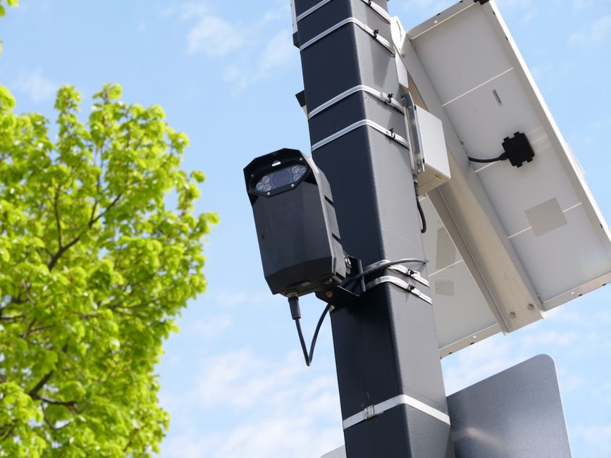
Global LiDAR market value sat at USD 3.0 billion in 2025, rises to a USD 3.4 billion 2026 estimate, and is forecast to hit USD 9.0 billion by 2033 at a 14.8% CAGR for the 2026-2033 window [S1]. That single anchor — a 3x revenue expansion in seven years — is the headline spec every procurement engineer and product manager is now benchmarking against.
The growth is not uniform across sub-segments: automotive LiDAR sensors were valued at USD 793.2 million in 2021 and are projected to reach USD 11.7 billion by 2031, a 31.7% CAGR from 2022-2031 [S6], while airborne LiDAR alone was already sized at USD 1,010.5 million by 2025 at a 16.4% CAGR over 2018-2025 [S2]. Sensor buyers and OEM sourcing teams should plan capacity against this two-speed curve, not a flat 14.8% line.
Market Scope: Four LiDAR Sub-Segments on Divergent Trajectories
LiDAR is not one market. The technology divides into airborne/aerial, mobile, terrestrial (static/ground-based), and short-range (defined by AMR as operating inside roughly 0-10 m), each with its own volume profile, accuracy spec, and unit cost [S3].
Airborne LiDAR systems are aircraft-mounted laser scanners built to capture 3D coordinates of the earth's surface, with current practice trending toward lower-altitude, slower flights that push ground point density to 520 points/m² and, in some survey setups, as high as 40 points/m² for fine topographic mapping [S2]. For buyers mapping infrastructure corridors — roads, rail, waterways, coastal zones, power lines — the relevant procurement decision is therefore not raw range but achievable point density at flight speed, and the spec spread between survey-grade and engineering-grade units remains wide [S2].
Selection Criteria: Matching Sub-Segment to Use Case
Automotive LiDAR is the highest-CAGR slice of the broader market: AMR projects the automotive sensor sub-segment at USD 1,831.9 million by 2028 from a USD 221.7 million 2020 base, a 30.3% CAGR [S8], and the wider automotive LiDAR market — including integration electronics and software — is tracked to USD 11.7 billion by 2031 at 31.7% CAGR [S6]. Buyers specifying for ADAS or robotaxi platforms should benchmark against that 30%+ trajectory when negotiating multi-year supply contracts, because unit volumes — not unit prices — are where the cost curve will move.
Airborne LiDAR applications cluster around corridor mapping, seismology, exploration and detection, defense and aerospace, civil engineering, archaeology, forestry and agriculture, transportation and logistics, and mining [S2]. Procurement should separate these into two spec buckets: (a) high-altitude, broad-coverage survey units where the key parameters are swath width, pulse rate, and GNSS/INS coupling, and (b) low-altitude, high-point-density units where the 520 points/m² figure and laser class (typically Class 1M eye-safe at 905 nm or 1550 nm) become the gating specs [S2][S3]. Mis-spec'ing into the wrong bucket is the single most common line-item failure reported in survey-tender debriefs.
Who LiDAR Is For, and Where It Is Not the Right Tool
LiDAR is the right tool when the spec demands centimetre-grade 3D coordinates over large areas, fast acquisition against moving platforms (drones, vehicles, aircraft), or operation in low light where passive imaging fails — corridor mapping, coastline management, flood modeling, forestry inventory, autonomous-vehicle perception, and corridor/utility asset management all sit inside the use envelope [S2][S3][S6].
It is also the wrong tool for non-contact displacement measurement on machine tools at sub-millimetre accuracy over <300 mm, where an LVDT sensor or a displacement sensor is the established reference. For through-air velocity profiling where the medium is the measurand, a flow sensor is the relevant category. The procurement mistake to avoid is treating LiDAR as a universal 3D answer when the spec is really a 1D or 2D measurement that another sensor class solves cheaper.
Regional and Application Split: Asia-Pacific, North America, and the Drone Spend Anchor
Asia-Pacific LiDAR was sized to reach USD 205.6 million by 2022 at a 25% CAGR over 2016-2022 [S3], with China identified as the largest revenue-generating country in the regional terrestrial LiDAR sub-segment [S3]. The category is increasingly used across civil engineering, forestry, corridor mapping, and 3D imaging in China, Japan, and South Korea, and government initiatives in the region are cited as a direct demand driver [S3].
In North America, defense and civil engineering procurement is a measurable demand floor. The U.S. military's FY2017 budget alone projected USD 4.61 billion for drone procurement across 31 unmanned aerial systems, a line item that directly drives airborne LiDAR payloads [S2]. On the integration side, machine-vision buyers should note the related machine vision system market 2026: capacity, spec, and sourcing signals read-through — LiDAR is increasingly specified as the 3D input to machine-vision stacks rather than as a standalone procurement line.
Standards, Vendor Landscape, and Sourcing Constraints
Airborne LiDAR components are split into lasers, inertial navigation systems, cameras, GPS/GNSS receivers, and micro-electromechanical systems, each of which carries its own supply-chain lead time [S2]. The named vendor set in the airborne sub-segment includes Teledyne Technologies, Saab Group, Airborne Imaging, Leica Geosystems, Faro Technologies, Flir Systems, RIEGL Laser Measurement Systems GmbH, Merrick & Company, Firmatek, and Lasermap Inc. [S2], with expansion strategies centred on product portfolio, M&A, geographic footprint, and collaboration [S2].
For spec-driven buyers the gating standards are the laser safety class (IEC 60825-1 eye-safety classification in the 905 nm vs 1550 nm debate), GNSS/INS positional accuracy (typically RTK or PPK-corrected), and for automotive units the ISO 26262 functional-safety work product. Long lead times on Inertial Measurement Units and 1550 nm fibre lasers remain the binding constraint on airborne survey campaigns in 2026, and any sourcing plan that treats these as catalog items will miss the delivery window.
Limitations, Failure Modes, and Spec Boundaries to Watch
LiDAR's known failure modes are well-documented at the spec level: degraded returns from rain, fog, and snow (worse at 905 nm than 1550 nm), interference between adjacent LiDAR units on the same platform (cross-talk, mitigated by time-dithering and coded pulses), and motion distortion at high vehicle speeds requiring solid-state or FMCW architectures to suppress. Short-range LiDAR, defined in the AMR taxonomy as operating inside 0-10 m, is not a substitute for long-range survey units and should not be procured against the same spec sheet [S3].
Cost-per-resolution-point is the metric the next two product generations will move on. Buyers who anchor on maximum range will overpay for capability they cannot use.
Trackable Signals for the Next Cycle
Three signals are worth pulling into the next sourcing review. First, the 2026 actuals against the USD 3.4 billion forecast [S1] — a >10% miss would reset the 14.8% CAGR assumption. Second, automotive LiDAR contract awards at the USD 11.7 billion 2031 trajectory [S6] — a slip below the 30% CAGR line would point to ADAS adoption friction. Third, the airborne component lead-time index for IMUs and 1550 nm lasers, which currently gates the survey-tender delivery calendar [S2] and remains the single best leading indicator of field-capacity tightness for 2026-2027.