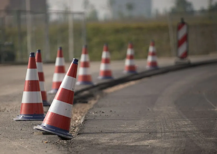
For road maintenance, robotic total stations with 1-3 mm angular and distance accuracy and automatic target recognition (ATR) are the practical choice for monitoring pavement deflection and structural movement on highways, bridges, and tunnels [S1][S4].
Manual total stations remain relevant for periodic cross-section and as-built checks on low-budget maintenance contracts, where 1-3 mm accuracy at operator-selected points is sufficient and GNSS signals are obstructed by cuttings, tunnels, or urban canyons [S4][S5].
Why road maintenance is a total station job, not a GNSS job
Road maintenance surveys run in conditions that defeat GNSS: deep cuttings, tree-lined corridors, bridge decks, tunnels, and urban canyons where satellite lock drops or fails entirely [S5]. A total station is an electronic theodolite integrated with an electronic distance measurement (EDM) unit, measuring horizontal angle, vertical angle, and slope distance from a fixed setup point over a known control coordinate [S4][S8]. Because it does not depend on satellite signal availability, it delivers consistent accuracy in canopy, canyon, and indoor settings, which is why it is the preferred tool for construction setout, structural monitoring, and land subdivision [S5].
For pavement deflection studies and bridge approach monitoring, this signal independence is decisive: a GNSS receiver that loses RTK fix during a 20-minute monitoring cycle is useless, while a total station keeps reading. On long highway corridors, GNSS smart antennas with RTK and IMU tilt compensation can cover open-sky topographic and boundary work, but the localised deflection and settlement measurements that drive maintenance decisions still come back to the total station workflow [S5].
Robotic vs manual: a decision matrix for maintenance crews
Robotic total stations pair EDM with servo-driven rotation, ATR, and remote control so a single operator can run the instrument from the rod or a field controller; manual total stations require one person at the instrument and a rod person at each target [S1][S3][S6]. For road maintenance, the labour economics differ sharply: a robotic unit lets a one-person crew cycle through reflective prisms installed on pavement or structure monitoring points, while a manual unit doubles crew size on every visit [S1][S6].
The comparison below lines the main options up against four criteria that matter on a maintenance contract:
Accuracy: both classes deliver 1-3 mm at individual operator-selected points under controlled conditions, because the underlying EDM and angular encoders are similar [S4][S1]. Crew size: manual needs 2 people, robotic can run solo on monitoring cycles [S6][S1]. Field time per setup: manual visits are periodic with gaps between readings; a single automated total station can measure up to one hundred prism targets per cycle on a programmed schedule, 24/7 [S1]. Cost: a professional total station runs 15,000-50,000 USD depending on accuracy class, with robotic units at the upper end of that range, while mapping drones run 1,000-10,000 USD with limited applicability to precise point monitoring [S4].
For pavement monitoring on a busy interchange, robotic wins on labour; for a 200-point as-built check on a low-traffic rural resurfacing, manual wins on capital cost. The ASPRS Positional Accuracy Standards recognise total station surveys as a reference-accuracy benchmark for horizontal and vertical control, so either class remains the legal and engineering reference for as-built deliverables [S4].
Accuracy, range, and EDM mode: spec numbers that matter
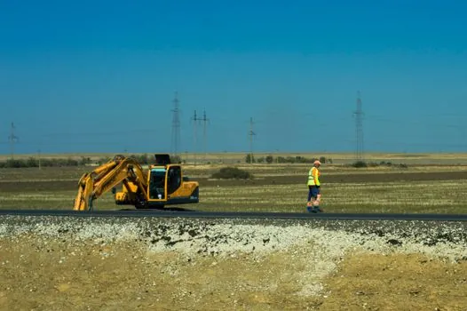
Total stations specify angle accuracy in seconds (commonly 1", 2", 3", or 5") and distance accuracy in mm + ppm; the better the angle and distance spec, the higher the price [S1][S4]. On a 1 km road section, a 1" angular error translates to roughly 5 mm of lateral position error at the prism, while a 5" instrument would push the same error to about 25 mm, often outside pavement monitoring tolerance.
EDM mode matters as much as the headline spec. Prism mode delivers the best range and accuracy; reflectorless mode lets the instrument read bare pavement, concrete barriers, and tunnel walls without a prism, useful for crack mapping and facade checks but with shorter range and lower accuracy [S5]. For road maintenance, a dual-mode instrument (prism + reflectorless) is the standard specification, since crews alternate between deflection prisms and reflectorless shots on pavement markings.
Range envelope is dictated by prism count and road geometry. On a long straight, one setup may need to read prisms 500 m away, which demands a long-range EDM; for intersection grading, 200 m is usually enough. Confirm the instrument covers the full sight envelope before purchase, especially on curved alignments where line-of-sight prisms may sit close to the optical edge of the telescope.
Field calibration and when to send the unit back
Field calibration is non-negotiable on a maintenance contract, because a drifted total station silently produces out-of-tolerance coordinates that get accepted by the client until a check shot fails [S2]. The standard pre-job routine covers four checks: collimation (horizontal and vertical line of sight), trunnion axis (tilt axis perpendicular to sighting), compensator (dual-axis index), and EDM constant [S2].
Acceptance thresholds depend on the instrument class. A 1" robotic should hold collimation within roughly 1-2" after adjustment; a 5" manual can tolerate 3-5" before re-adjustment is needed. If the instrument cannot pass collimation and trunnion checks after a clean-and-adjust cycle, or if the EDM constant drifts more than 2-3 mm between scheduled factory calibrations, the unit is no longer fit for sub-5 mm pavement monitoring and should go back to the manufacturer [S2].
Trigonometric leveling, the intermediate-station method for transferring height between benchmarks, requires the total station to be positioned roughly midway between the two observation points so that forward and backward sight distances balance; a residual imbalance of more than a few metres introduces a measurable vertical error on long sights [S7]. This is a field-procedure rule, not an instrument limit, and it applies equally to manual and robotic setups.
Roadside environment: IP rating, temperature, dust, and vibration
Road maintenance crews work beside live traffic, on asphalt that radiates heat in summer and freezes in winter, and in dust from milling operations. A maintenance-grade total station should carry an IP54 or higher rating, because IP54 protects against dust ingress and water spray from any direction, while lower ratings allow fine road dust into the encoder housings and EDM optics [S1][S2].
Operating temperature range is typically -20 to +50 degrees C for survey-grade instruments, which covers most roadside conditions; for extreme cold climate regions, confirm the spec, since battery capacity drops sharply below -10 degrees C. Vibration from passing trucks is rarely a problem for a tripod-mounted instrument, but a damaged or worn tripod head can introduce trunnion errors that show up as horizontal angle drift between setups, so tripod condition is part of the calibration routine [S2].
For automated monitoring on a structure or a pavement test section, the instrument runs unattended for weeks at a time. Robotic total stations in this role need weatherproof housing, reliable power (battery or solar), and a communications link to the office for real-time threshold alerting, so the moment displacement exceeds defined limits, the project team is notified, not days later [S1].
When a total station is the wrong tool for road maintenance
If the deliverable is a full 3D surface model of a kilometre of pavement for rutting and roughness analysis, an RTK drone with ground control points delivers 1-3 cm accuracy across every visible surface in 10-15 minutes of flight, while a total station needs a two-person crew and 60-90 minutes for a single complex intersection and produces a sparse set of points [S4]. Total stations measure individual points with extreme precision; drone mapping captures entire scenes with comprehensive coverage, and the choice hinges on whether the maintenance decision needs a sparse set of highly accurate control points or a dense measurable 3D model of the full surface [S4].
For routine pavement condition surveys, roughness measurement, or visual crack mapping across a long corridor, a drone or a mobile mapping system is faster and cheaper. For localised deflection, settlement, bridge approach, retaining wall, and tunnel convergence monitoring where point precision and reliability over months matter, the total station is the correct instrument. Teams increasingly run a hybrid workflow: total station establishes millimeter-accurate ground control points and monitors critical points, while the drone or scanner captures the full 3D surface around them [S4].
Manual total stations are also the wrong tool for a one-person crew on a monitoring cycle that runs more than two or three setups per day, because the labour cost swamps the capital saving. The right tool is a robotic unit or, for long-term structural monitoring, an automated total station monitoring system (AMTS) with programmed prism cycles and remote alerting [S1].
Sourcing, standards, and integration with other maintenance gear
Total station deliverables on road maintenance contracts typically reference ASPRS Positional Accuracy Standards for horizontal and vertical control, and the instrument's own factory calibration certificate for angle and distance traceability [S4]. For data integration, a road roller compaction pass plan or a flow meter calibration grid both need the same project coordinate system, so the total station control network should be established and checked before any other instrument is tied to it.
On bridge and tunnel maintenance, AMTS installations commonly run alongside weather stations and structural sensors, sharing the same comms backbone and time stamp, which is why selecting a total station with documented data export formats (CSV, LandXML, or direct to the project's GIS) saves weeks of integration work later. The same logic applies on resurfacing contracts where a pressure transmitter feeds paver screed height and the total station provides the control network; mismatched coordinate systems between the two mean the paver cannot read the design model directly.
One trackable signal to watch: AMTS adoption on highway and rail maintenance contracts has shifted from a monitoring-only tool to a construction-quality tool, with the same robotic instrument used for both initial setout and post-construction deflection checks, because the prism network stays in place through the project life [S1].
See also our earlier report, Worm Gear Reducer Selection for Wind Power Auxiliary Drives.