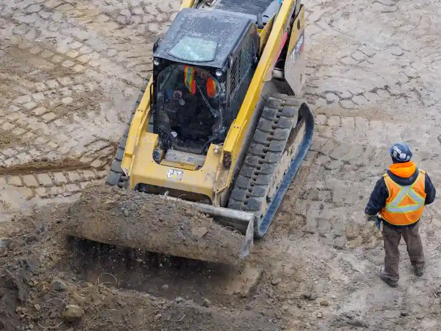
On excavators, dozers and graders, the technology now stretches from a basic laser-referenced 2D setup to GNSS-driven 3D machine control running off a full digital design model, and on a production excavator the kit can range from entry guidance to fully automatic digging [S2].
The fork in the road is not "guidance or not" but which tier the work can pay back, since 2D and 3D differ in reference, hardware cost, accuracy, and the kind of site each one can actually cover [S1][S3].
What the two systems actually do, and what changes between them
A machine guidance system connects three things: the project design, the position of the cutting edge (blade, bucket, drum), and an in-cab display the operator acts on; sensors track the implement, the system compares it to a target, and the operator is told whether to raise, lower, or hold, while on more capable rigs the hydraulics are driven automatically to hold the grade [S1].
That loop is identical in 2D and 3D. What changes is the reference, i.e. how the system knows where "the right level" actually is, and that single choice drives cost, accuracy, suitable work, and the survey effort a project needs [S1]. Across the broader process-engineering landscape, similar fixed-reference versus full-model trade-offs show up in cutting machine selection, where laser or mechanical setpoint work and CNC model-driven work serve very different shop-floor needs.
2D grade control: a fixed reference, one plane at a time
A 2D machine guidance system controls elevation and slope against a fixed reference rather than a full site model, with the reference typically being a rotating laser plane, a sonic tracer following a string line or kerb, or the machine's own slope sensors, and the operator sets a target depth and cross-slope for the system to hold [S1].
2D fits work with a consistent grade and slope across an area: car parks, building pads, trench inverts, sub-base preparation, and flat or single-slope surfaces, where setup is fast, hardware cost is lower, and an operator becomes productive quickly [S1]. The practical limit is in the name: a 2D system holds one plane at a time, so when the design has varying grades, crowns, transitions or curved surfaces, the operator has to keep resetting the reference and complex shapes get slow and error-prone [S1][S3]. Because 2D does not rely on satellite positioning and does not know where the machine is on the site, it focuses on vertical accuracy and basic slope control, which is also why it stays usable in GPS-hostile zones such as urban canyons and treed lots where GNSS fix quality collapses [S3].
3D machine control: a position on the design model
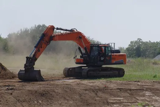
A 3D machine control system replaces the fixed plane with the full project model, positions the machine in three dimensions with a GNSS receiver on the machine, and compares the cutting edge to the design surface at the machine's exact location, so it can call the correct target grade anywhere on the site without moving stakes or resetting a laser [S1].
Real-time GNSS corrections bring the fix to centimetre-level accuracy and the design model supplies the target at every point, which is why the technology is widely called GPS machine control in field marketing [S1][S4]. The payoff is the reach of work it covers: complex earthworks, road and highway formation, drainage, and large sites where survey stakes would otherwise dictate the pace, with the trade-off being higher hardware investment and the need for a proper 3D design model plus a correction source (base station or network) [S1][S4]. Where GNSS sky view is blocked, such as deep boxed excavations, a total station or robotic instrument is used to track the machine and supply the same position fix, with the design model unchanged and only the positioning method swapped [S1].
Decision matrix: 2D vs 3D on the criteria that matter
Putting the two side by side on the criteria that drive a fleet buy: 2D is reference-based (laser, sonic tracer, slope sensor), lower in hardware cost, and quicker to install, while 3D is model-based (GNSS or, where blocked, total station) and carries a higher upfront spend but covers variable-grade work [S1][S2]. 2D typically delivers vertical accuracy tied to the laser or slope reference, well matched to trench and pad work, while 3D delivers centimetre-level horizontal and vertical position across the whole site, which is the metric that matters for road formation, drainage falls and curved alignments [S1][S4].
2D fits repetitive single-plane jobs where the operator is not the bottleneck, and works in GPS-denied environments where a 2D setup keeps producing because it does not need satellites; 3D fits complex or large sites where stake-driven surveying is the bottleneck and the design changes across the area [S1][S3]. On operator skill, both tiers compress the learning curve, but 3D is the lever that lets a contractor deploy less-experienced operators and still hit a tight spec, which matters where final-cut operators are scarce and expensive [S4]. The fleet-side rule of thumb from contractors and OEMs: "buy the system your jobs can actually pay for," because more automation is not automatically more profit on a small or simple site [S2].
Equipment fit: excavators, dozers and graders
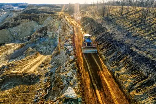
On excavators, the technology now stretches from mini excavators digging footings, where a 2D depth-and-slope setup is often the right answer, up to production excavators working from a complex 3D digital site model, with availability today "not a problem" but tier selection still a real decision [S2].
On dozers and graders, 2D is the entry-level solution for simple terrain and basic grading, using sensors on the machine or a rotating laser to set slope and elevation, while 3D adds a GNSS-corrected position plus the design model so the blade or mouldboard is driven against the actual target at every point [S4]. As a concrete southern-Africa fleet example, the Leica iCON iGG3 Dual GNSS grader solution, which combines a GNSS receiver pair on the machine with a 3D design model, has become the volume seller in that market because it directly attacks the shortage of final-cut grader operators [S4]. The pattern repeats for dozer and excavator fleets, where the buying decision is increasingly tied to operator availability, not just productivity per cubic metre.
Use cases, limitations, and standards context
Pick 2D when the job is depth- or slope-driven, repetitive, and has one consistent grade across the work face: trenching to a set depth, footing excavation, sub-base prep, levelling a building pad, or working off a laser benchmark day after day [S1][S3]. Pick 3D when the design varies across the site and re-staking the laser or the slope sensor would dominate the cycle time: road formation, bulk earthworks on commercial developments, drainage with designed falls, and any curved alignment where a single plane cannot represent the design [S1][S3].
Limitations to plan for: 2D cannot represent variable grades without constant operator intervention, and 3D depends on a usable GNSS sky view, a configured correction source, and a clean 3D design model loaded into the in-cab display [S1][S4]. If the work moves into deep cuts, tunnels, or next to tall structures, budget for a total-station or robotic positioning add-on rather than assuming GNSS will hold [S1]. Where guidance is also acting as a safety reference near utilities or finished structures, treat the system as advisory and keep a spot-check survey on the critical points, since 2D and 3D both still trust the design model and the calibration of the implement sensors [S1][S4].
Sourcing and the build of a sensible 2026 fleet plan
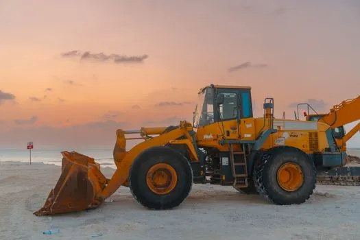
Two practical moves for a fleet manager in 2026: first, audit the past 12 months of work by how often a single-plane reference would have covered the design, and by how often the design actually changed across the site, since that ratio is the cleanest signal of whether 2D or 3D earns its keep on each machine class [S1][S2]. Second, treat GNSS sky view, the availability of a network RTK correction, and the cost of producing (or buying) a clean 3D model as part of the 3D budget, not as a free add-on, because a 3D kit on a site without a model or a correction source degrades into a more expensive 2D setup [S1][S4].
For deeper context on how machine guidance interfaces with the broader construction-equipment stack, the piece on why bulldozers use tracks instead of wheels is a useful companion read on dozer undercarriage decisions that interact with automated blade control, while the excavator grade control buying guide it draws on (linked separately) lines up the same 2D-versus-3D question from the OEM side [S2]. Track the next Leica, Topcon, Trimble, CHCNAV and CNH product updates in 2026, and any fleet-level announcements from Develon, Volvo, Bobcat, Komatsu and LiuGong on factory-fit 3D, as those will shift the 2D-versus-3D payback math more than any incremental sensor change [S2][S4].
Component reference pages worth checking: earthmoving, and 3d scanner.