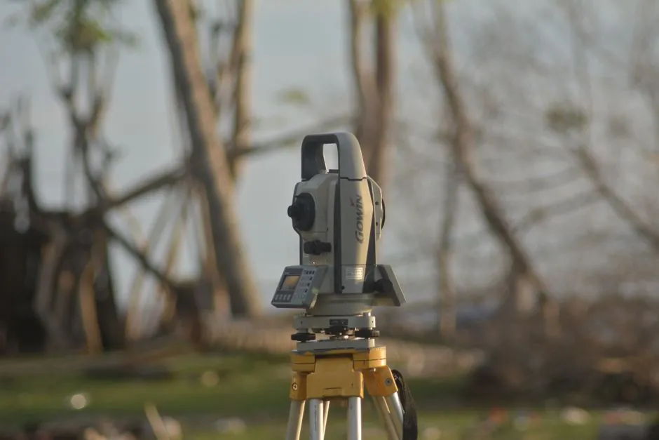
A laser level can measure the slope of an existing surface by acting as a fixed horizontal reference plane; a laser level projects that plane across the work area while a receiver on a grade rod reads the elevation difference between any two points, and slope is then rise divided by run, usually converted to a percentage [S1][S4].
The technique is standard on civil, landscaping, and concrete flatwork sites where a one-person workflow with a tripod-mounted rotary or line laser, a detector, and a graduated rod replaces the two-person optical-level method, and the same setup doubles for both flatness checks and grade setting [S2][S4].
What "Slope" Means and How the Laser Reads It
Slope is rise over run, where rise is the vertical elevation difference between two points and run is the horizontal distance between them; multiplying the dimensionless ratio by 100 gives the percent grade used on most US site drawings [S1].
For a 0.5 m rise across 10 m of horizontal run, the calculated grade is 5%, the example value used in one field guide to illustrate the basic math [S1]. Common site targets sit in the 1-2% range for parking lots and ADA-compliant walkways, while drainage swales often run 3-6%, so a reading repeatability of a few millimetres at the rod is what separates a usable grade check from a noisy one [S1][S4].
Hardware Required and the Two-Point Workflow
The minimum kit is a self-leveling rotary or line laser, a tripod, a grade rod (also called a leveling staff), a detector matched to the laser's wavelength, a measuring tape, and a marker; for outdoor work over 30 m, a rotary laser with a receiver is the practical choice because line lasers fade in daylight [S1][S3].
The workflow is straightforward: set the tripod on firm ground, power the unit, let automatic self-leveling complete (typically under 10 seconds on consumer units), set the grade rod at point 1 with the detector clamped at rod-mid height, slide the detector until the receiver locks onto the beam, mark the reading, repeat at point 2, subtract to get the height difference, measure the horizontal run, then compute slope as (height difference / horizontal distance) x 100 [S1][S4]. For a consistent grade, one field reference recommends working backward from a known total fall, for example establishing a 6-inch (152 mm) lower point first and stepping up toward level [S4].
Self-Leveling vs Manual Leveling vs Dual-Axis Slope
Self-leveling units compensate for tripod tilt inside a window of roughly ±4-5 degrees on most consumer models, so the projected plane is horizontal without operator adjustment; manual units require the operator to centre bubble vials before each reading, which is slower but works where automatic compensation is undesirable [S1][S4].
Dual-axis slope laser levels extend the same hardware with motorized axis tilt, so the operator can dial in a target percent grade on X and Y independently and let the unit hold that plane across the full work area, which is the natural upgrade path for users who set grades more often than they check them. A breakdown of how that slope-axis alignment behaves in the field, and where it falls over, is covered in Automatic slope axis alignment on rotary laser levels. For users still choosing between an auto level and a digital level for spot elevation work, the trade-offs sit in a different place and are detailed in Auto Level vs Digital Level.
Accuracy, Sources of Error, and Operating Limits
Rotary laser accuracy is typically quoted in the band of ±1.5 mm at 30 m, with working radius to a receiver in the 300-800 m range depending on model and laser class, so the height-difference step in a two-point slope calc is rarely the weak link; the run measurement is, which is why the same guide advises averaging multiple rod readings on long slopes [S1][S3].
Field errors cluster around tripod settlement on soft ground, wind jitter on tall masts, beam interference from reflective surfaces, and detector drift if the rod is held off-vertical; a plumb bob or rod-level vial is the cheapest insurance against the last one [S1][S4]. Red laser diodes remain the common choice for cost and battery life, while green diodes are easier to see in daylight and give a tighter perceived point, but neither changes the underlying measurement math [S4].
What a Laser Level Does Not Do Well
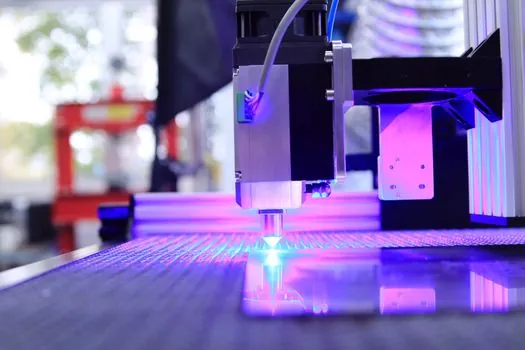
A single-plane laser level does not measure surface roughness or micro-texture, it only reports a single elevation per rod position, so flatness across a slab or sheet must be checked with a surface roughness tester or a straightedge-and-wedge method, not with a laser plane alone [S2].
Nor does a laser level replace a total station or laser tracker when sub-millimetre absolute coordinates are needed on a built part, or a laser profiler for continuous cross-section scanning along a line, both of which produce denser data than a two-point rod check. The slope value also assumes a straight line between the two rod stations, so a curved swale read at its endpoints only gives an average grade, not the low point or any sag in between [S1][S4].
Practical Selection Criteria for Site Users
Pick by use pattern: for occasional residential grading, a self-leveling line laser with a 30 m receiver range is enough; for daily site work, a rotary unit with a 400-600 m receiver range and a NiMH or Li-ion pack is the baseline; for crews who set the same percent grade repeatedly, a dual-axis slope model is the cost-effective upgrade [S1][S3][S4].
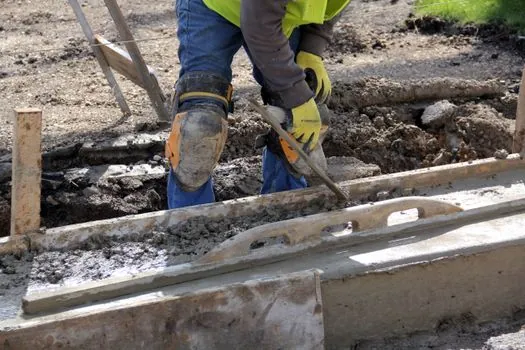
On concrete flatwork the same laser plus a vibratory laser screed holds the grade automatically across the pour, but the initial slope is still set and verified with a rod and receiver, the same workflow used for soil and gravel prep. For permanent markings on the finished surface, a laser marker is a different instrument class and is not part of the slope-measurement workflow.
Track one signal over the next quarter: new IEC 60825-1-aligned receiver models with narrower detection bands (typically ±0.5 mm at 30 m), and the wider adoption of green 520 nm diodes in sub-$500 rotary units; both would shift the cost/accuracy curve for slope work on small sites.